Location: Itogon, Benguet
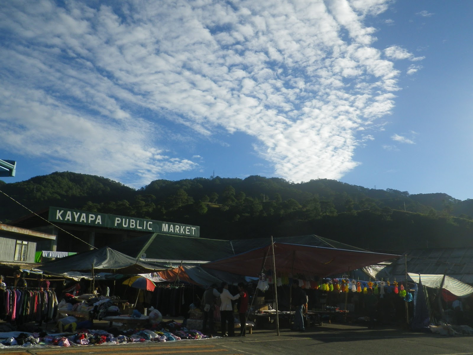
Entry to Exit Point: Kayapa, Nueva Vizcaya to Itogon, Benguet
2,150 Meters Above Sea Level
Difficulty: Major Climb, 5/9 (per pinoymountaineer.com)
Initially, my motive to climb Mt.
Ugo was to do an outreach but I wasn’t able to join my group last year.. Organizing
an outreach climb isn’t easy so I decided to first observe the place (Domolpos
Village). Perhaps in the future, my climb buddy and I might be able to finally
organize one. Hopefully!
Our visit to Mt. Ugo was a
two-day traverse (overnight weekend climb). The mountain is a popular climbing
destination in the Cordillera region along with Mt. Pulag, Mt. Ugo and Mt.
Napulauan. I was happy that this 2012, I was able to complete these great
traverses in the Cordilleras (We went hiking Amuyao in June and then Napulauan
in August).
We were just blessed to have a
very fine weather. We’re a total of 18 climbers including my sister
Maybelle. This climb was her fourth but her first ever traverse, that’s why
doing a long trek really surprised her.
The event was simple yet still
memorable. Perfect weather, good
companions, laughters, wonderful views, food, friendships.
Started at 9am and lunch break at
Indupit Village. The trail was really ascending until the Indupit Village where after eating lunch and then resumed, we trekked plainly and steadily at plateaus. Such gradual trek lasted only upon approaching
summit where succeeding assault trail follows.
Along our trekking, I finally saw the school at Domolpos Village. Perhaps,
such school of the village is fortunate enough that they are recipients
of outdoormen’s generosity and initiative to help. The school as I view from
afar looks fine and newly painted. (On the other hand, I knew I could have gone
down there and assess further, perhaps the school there needs more).
 |
| my sister Maybelle in the middle of the trek |
 |
| chillax at the plateau |

To continue, as we trek up summit
of Mt. Ugo, it started to get foggy. We reached the campsite ( a few meters away from summit) at 5:30pm. It also
started to get colder. The cold temperature there as compared to the other Cordillera
mountains I mentioned above is much more tolerable. Maybe, we were just given a
fine weather, no strong winds, no rains.
Sunrise viewing the following
morning, The only mountain I’ve identified there at the campsite was Mt. Pulag.
 |
| sunrise by Buddy Dennis Hisanan |

After eating breakfast, we did respective "breakcamp" and started the traverse.. after a very few steps was already summit.
 |
| a few steps to summit |
 |
| at 2,150 MASL |
I now understand why it’s better not to camp
there although there’s a lot of space. It’s because cows are scattered and
possible attack may happen. A very steep descent and then we reached the pine forests.
As we trek, a clear view of Mt. Sto. Tomas and Baguio City can be seen on the
left. That sunny day was really sunny and really made my skin even darker. The trek
at pine forests, although it’s only steady hiking, was still tiring because of somewhat long trek
to Itogon (the exit point) under extreme heat of the sun. Most of us were
already running on the trail.
 |
| view of Mt. Sto. Tomas and Baguio City |
 |
| Pine trees everywhere during our descent |
Nearing exit point, was little
assault trails and steep descents. Finally, we reached the long hanging steel bridge
marking the end of the trek. We got our certificate and did our wash-ups at the
barangay office. It was around 6pm when we left for Baguio City.

No comments:
Post a Comment